Compatible Data Types & Formats:
Supported Vector Data types:
- Shapefile (.shp)
- GeoJSON (.geojson)
- File GeoDataBase (.gdb)
- SpatialLite Layers (.sqlite, SQLite)
- PostGIS Layers (PostgreSQL database)
- GeoPackage (GPKG)
- GPX (.gpx)
- TopoJSON
- Much more! Who knew there were this many vector types?
Vector data example
Supported Raster Data types:
Other Data Formats:
- Web Map Service (WMS)
- Web Feature Service (WMF)
- Web Coverage Service (WCS)
- XYZ tiles
- Loads of great basemaps via QuickMapServices Plugin
Adding Data… Many Ways!
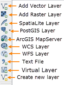
For shapefiles and typical rasters, you can use the add vector or raster buttons, or simply drag and drop from your file system or the QGIS browser panel.
…shapefiles? That’s so 90’s! Let’s add a GeoPackage layer:
- Click the Add Vector Layer button:

-
Navigate to your data, select the QGISworkshop.gpkg and click OK:
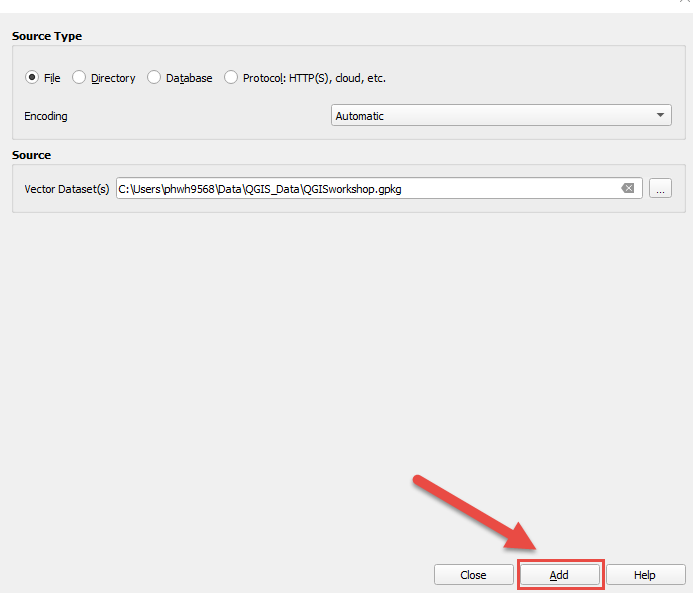
- Next, choose the layer you want to add and click OK:
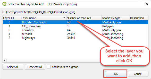
You’re done!
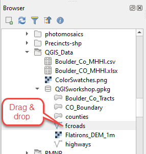
Tip: You can also add data straight from the Browser by just dragging and dropping:
