Getting started with ArcGIS Pro:
GIS: (Geographic Information System) An integrated collection of computer software and data used to view and manage information about geographic places, analyze spatial relationships, and model spatial processes. (from A to Z GIS)
Visit:
Documentation:
- Esri’s help docs are excellent and are available here: ArcGIS Pro help.
Starting a project
-
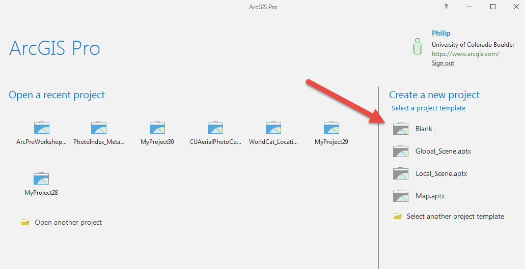
Open up Pro, sign in, and create a blank project (or start without a template)

-
Name your project and tell Pro where to save it. Note: If you already have created a folder for your project, you can unclick the Create new folder option.

Connect a GeoDataBase
-
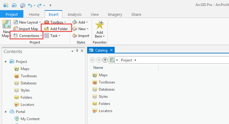
From the Insert tab add data folders or connect geodatabases where your data lives:

Add a map
-
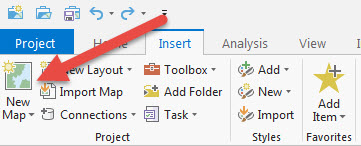
From the Insert tab, click New Map to add a map:

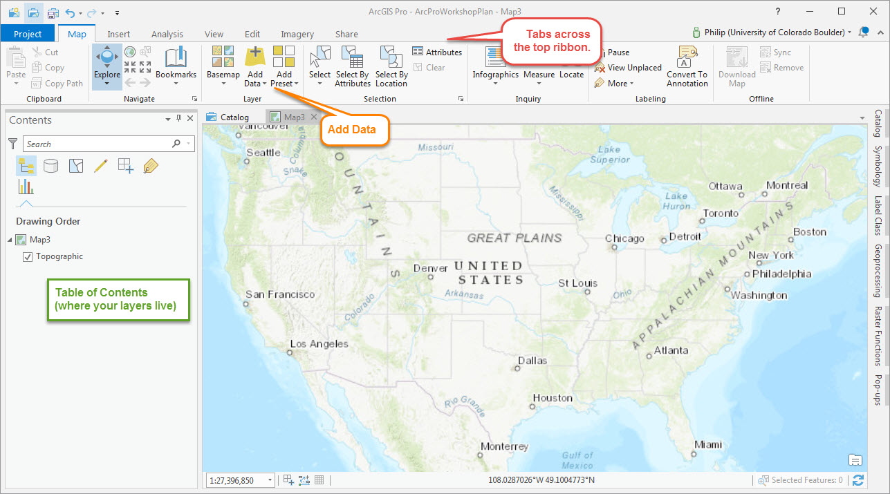
The ArcGIS Pro Desktop Interface:

Interface Tips:
- The interface should look vaguely familiar–it is essentially a copy of Microsoft Office!
- Tabs across the top are dynamic; some only appear when needed.
- You may use the Map tab most often, but you’ll also use Analysis and Insert a lot.
- Note the tabs across the far right of the Window. You’ll often find useful tools like the Catalog and Toolbox menu here, and these can be pinned for quick access.